Description
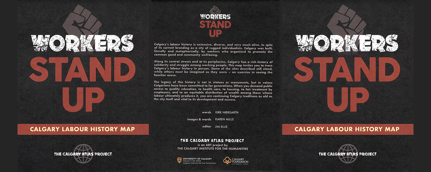
Words: Kirk Niergarth
Images & Words: Karen Mills
Editor: Jim Ellis
Available as a folded map, and as a rolled poster.
Calgary’s labour history is extensive, diverse, and very much alive. In spite of its current branding as a city of rugged individualists, Calgary was built, literally and metaphorically, by workers who organized to promote the common good and community well-being.
Along its central streets and at its peripheries, Calgary has a rich history of solidarity and struggle among working people. This map invites you to trace Calgary’s labour history in person. Some of the sites described still stand, while others must be imagined as they were – an exercise in seeing the familiar anew.
The legacy of this history is not in statues or monuments, but in values Calgarians have been committed to for generations. When you demand public access to quality education, to health care, to housing, to fair treatment by employers, and to an equitable distribution of wealth among those whose labour ultimately produces it, you are continuing Calgary traditions as old as the city itself and vital to its development and success.
About the Calgary Atlas Project
The Calgary Atlas Project seeks to recover crucial stories about Calgary’s past and present, stories that illuminate in surprising ways the character and diversity of the city. Forgotten or overlooked stories from Calgary’s history are mapped onto the city’s geography, highlighting significant sites, events, and people in Calgary’s past. Ultimately the project will produce eighteen to twenty maps, spanning the earliest moments of habitation and settlement to the latest re-developments in the East Village.
The first two maps produced showcased Calgary’s LGBTQ2S+ history and First Nations participation with the Calgary Stampede. Newly completed maps explore the history of alternative art movements, labour activism and Calgary’s lost cinemas. Upcoming maps will illustrate immigration waves (as reflected in ethnic groceries and restaurants), Calgary’s architectural heritage, our connections with animals and the notable faces and places of Stampede Wrestling.
Each map has text written by local historians and images specially commissioned from Calgary artists, in most cases artists who have a relation to the history they are interpreting. The Atlas aims to bring a new vision of Calgary to Calgary; to show us how we got to where we are, and who we came to be.
The Calgary Atlas Project is an initiative of the Calgary Institute for the Humanities at the University of Calgary, and is generously supported by the Calgary Foundation. Individual maps are available from Calgary’s fine independent bookstores including Shelf Life Books, The Next Page, Pages Kensington, Owl’s Nest Books, as well as Map Town and Lougheed House. The project is steered by a group of five professors at the University of Calgary: George Colpitts (History), Jim Ellis (English; CIH), Nancy Janovicek (History), Graham Livesey (School of Architecture, Planning and Landscape), and Charles Tepperman (Communications, Media and Film).
In Summer 2020, the Atlas Project was the recipient of a Calgary Foundation Grant. We are enormously grateful for this grant as it has allowed us to hire a project manager to oversee the production of the forthcoming maps and to work on effective distribution schemes for the maps, making sure that they are read by the communities that would benefit from them the most.