Calgary’s Architecture Map
$10.00
This map shows important examples of Calgary’s architecture with its evolving styles and architectural characters.
In stock


$10.00
This map shows important examples of Calgary’s architecture with its evolving styles and architectural characters.
In stock
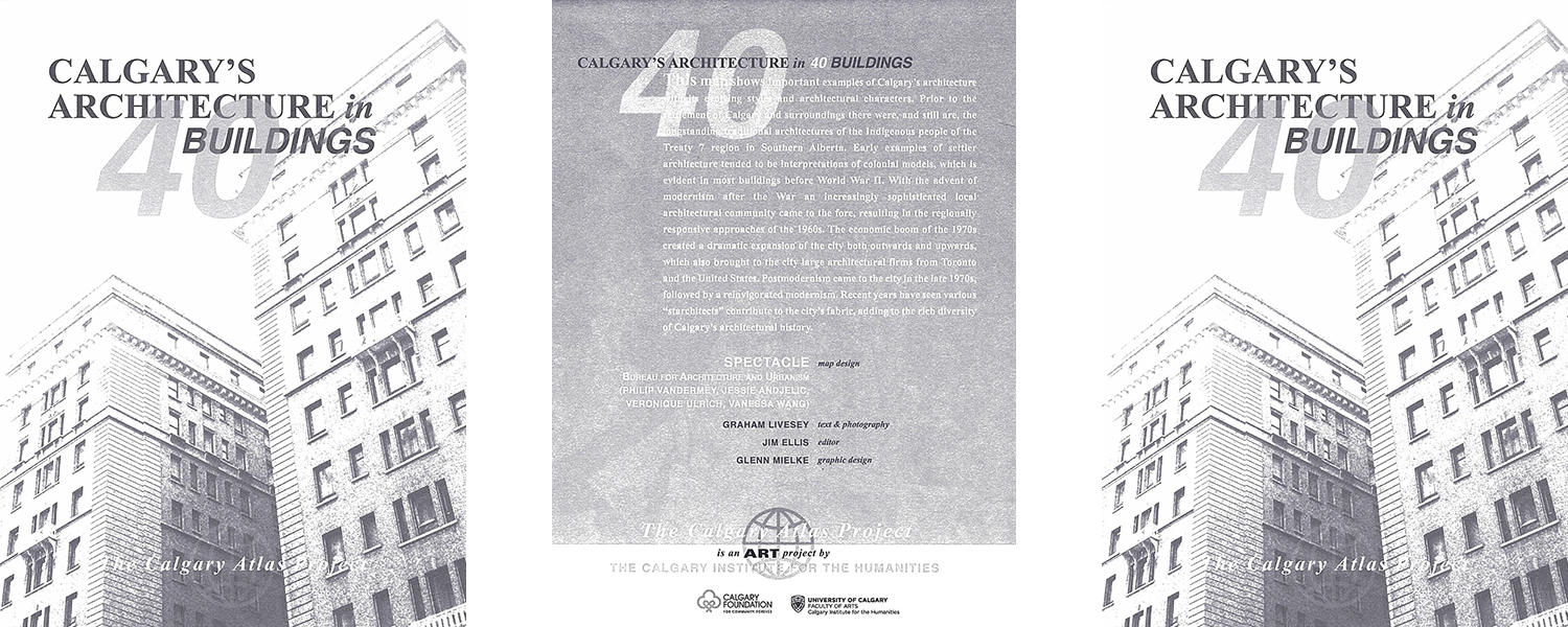
Text and photography: Graham Livesey
Map design: SPECTACLE Bureau for Architecture and Urbanism (Philip Vandermey, Jessie Andjelic, Veronique Ulrich, Vanessa Wang)
Editor: Jim Ellis
Graphic design: Glenn Mielke
This map shows important examples of Calgary’s architecture with its evolving styles and architectural characters. Prior to the settlement of Calgary and surroundings there were, and still are, the longstanding traditional architectures of the Indigenous people of the Treaty 7 region in Southern Alberta. Early examples of settler architecture tended to be interpretations of colonial models, which is evident in most buildings before World War II. With the advent of modernism after the War an increasingly sophisticated local architectural community came to the fore, resulting in the regionally responsive approaches of the 1960s. The economic boom of the 1970s created a dramatic expansion of the city both outwards and upwards, which also brought to the city large architectural firms from Toronto and the United States. Postmodernism came to the city in the late 1970s, followed by a reinvigorated modernism. Recent years have seen various “starchitects” contribute to the city’s fabric, adding to the rich diversity of Calgary’s architectural history.
The Calgary Atlas Project seeks to recover crucial stories about Calgary’s past and present, stories that illuminate in surprising ways the character and diversity of the city. Forgotten or overlooked stories from Calgary’s history are mapped onto the city’s geography, highlighting significant sites, events, and people in Calgary’s past. Ultimately the project will produce eighteen to twenty maps, spanning the earliest moments of habitation and settlement to the latest re-developments in the East Village.
The first two maps produced showcased Calgary’s LGBTQ2S+ history and First Nations participation with the Calgary Stampede. Newly completed maps explore the history of alternative art movements, labour activism and Calgary’s lost cinemas. Upcoming maps will illustrate immigration waves (as reflected in ethnic groceries and restaurants), Calgary’s architectural heritage, our connections with animals and the notable faces and places of Stampede Wrestling.
Each map has text written by local historians and images specially commissioned from Calgary artists, in most cases artists who have a relation to the history they are interpreting. The Atlas aims to bring a new vision of Calgary to Calgary; to show us how we got to where we are, and who we came to be.
The Calgary Atlas Project is an initiative of the Calgary Institute for the Humanities at the University of Calgary, and is generously supported by the Calgary Foundation. Individual maps are available from Calgary’s fine independent bookstores including Shelf Life Books, The Next Page, Pages Kensington, Owl’s Nest Books, as well as Map Town and Lougheed House. The project is steered by a group of five professors at the University of Calgary: George Colpitts (History), Jim Ellis (English; CIH), Nancy Janovicek (History), Graham Livesey (School of Architecture, Planning and Landscape), and Charles Tepperman (Communications, Media and Film).
In Summer 2020, the Atlas Project was the recipient of a Calgary Foundation Grant. We are enormously grateful for this grant as it has allowed us to hire a project manager to oversee the production of the forthcoming maps and to work on effective distribution schemes for the maps, making sure that they are read by the communities that would benefit from them the most.
| Weight | .5 kg |
|---|---|
| Dimensions | 10 × 8 × .5 cm |

Price:
$10.00
Price:
$10.00
Price:
$10.00
Price:
$10.00